| dc.contributor.author | Devoli, Graziella | |
| dc.contributor.author | Bell, Rainer | |
| dc.contributor.author | Cepeda, José | |
| dc.contributor.editor | Devoli, Graziella | |
| dc.coverage.spatial | Norway | en_US |
| dc.date.accessioned | 2020-07-22T12:26:16Z | |
| dc.date.available | 2020-07-22T12:26:16Z | |
| dc.date.issued | 2019 | |
| dc.identifier.isbn | 978-82-410-1800-8 | |
| dc.identifier.issn | 1501-2832 | |
| dc.identifier.uri | https://hdl.handle.net/11250/2669889 | |
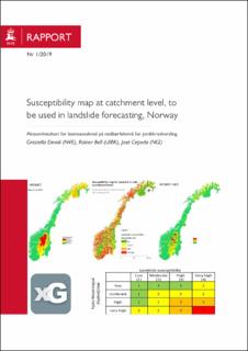
| dc.description.abstract | A national “susceptibility map for landslides in soils at catchment level” was prepared, to be used in the landslide forecasting and warning service at NVE. The map was elaborated by combining five regional susceptibility assessments and maps carried out between 2013 and 2017 in five regions. This report presents the map and summarize the data and methods used to perform the regional analyses. The document also shows how the map is daily combined with the landslide thresholds, to prepare new national thresholds that take into account the landslide spatial probability | en_US |
| dc.language.iso | eng | en_US |
| dc.publisher | NVE | en_US |
| dc.relation.ispartofseries | NVE Rapport;2019:1 | |
| dc.subject | Susceptibility map | en_US |
| dc.subject | Machine learning | en_US |
| dc.subject | Global additive models (GAM) | en_US |
| dc.subject | Landslide warning | en_US |
| dc.subject | Landslide thresholds | en_US |
| dc.subject | Aktsomhetskart | en_US |
| dc.subject | Jordskredsvarsling | en_US |
| dc.title | Susceptibility map at catchment level, to be used in landslide forecasting, Norway | en_US |
| dc.title.alternative | Aktsomhetskart for løsmasseskred på nedbørfeltnivå for jordskredvarsling | en_US |
| dc.type | Report | en_US |
| dc.relation.project | FoU: 80126 | en_US |
